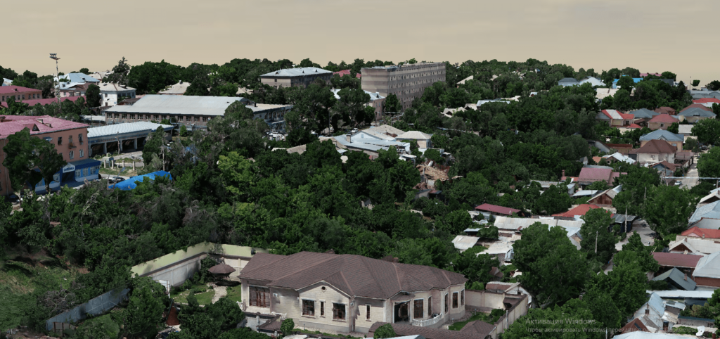
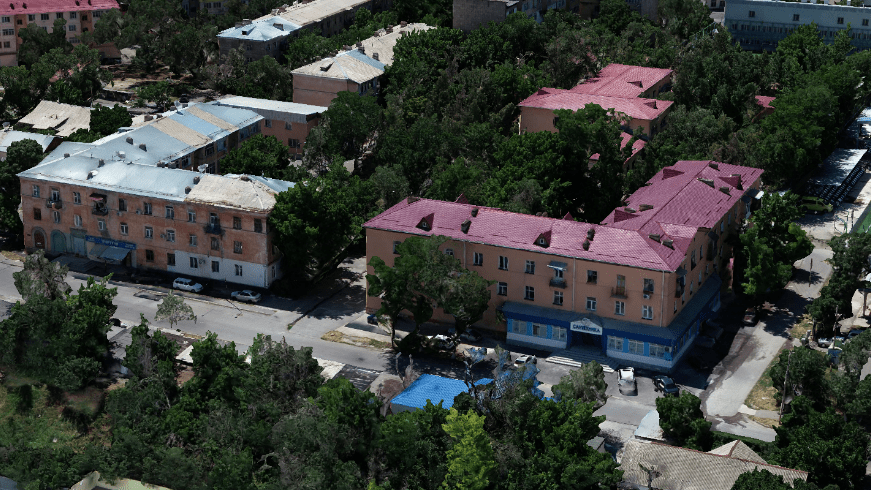
Realistic 3D models of terrain or objects with accurate geodetic references can serve as the basis for developing a digital twin of a city. By linking reference points to the terrain in the required coordinate system, the resulting models have a colossal amount of accurate geodetic data. The model is built by identifying terrain objects on various frames of a digital camera installed on board the aircraft. In the process of shooting, get nadir and perspective shots
As a result of the work, we provide the following materials:
dense point cloud
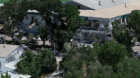
3D-model
Our advantages:

Coverage of large areas by area

Save time compared to ground methods

High planned accuracy of results

Ability to transfer texture and color
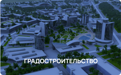
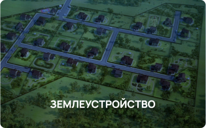
Applications 3D