GEOPPORTAL is a platform for geodata, information and geoservices
GEOPORTAL PROVIDES FOLLOWING SERVICES:
- Displaying raster, vector layers;
- Search and cartographic visualization of data;
- Collecting and storing large amounts of data;
- Converting data from external systems into the Geoportal database
GEOPORTAL FUNCTIONALITY
- Open part for the public
- Closed part for official use
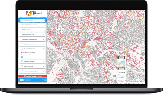
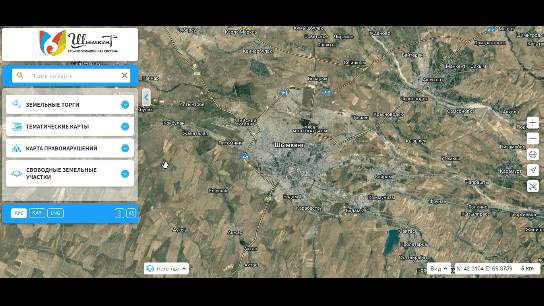
Open map for the population
It serves to raise awareness of the population, in particular about the land auctions held in the region, free land plots, as well as publicly available urban planning regulations (general plan, red lines, RAP, etc.).
Contains the following data:
- Land auctions
- Directory of organizations
- General plans, RAPs, etc.
- Map of offenses
- Vacant land
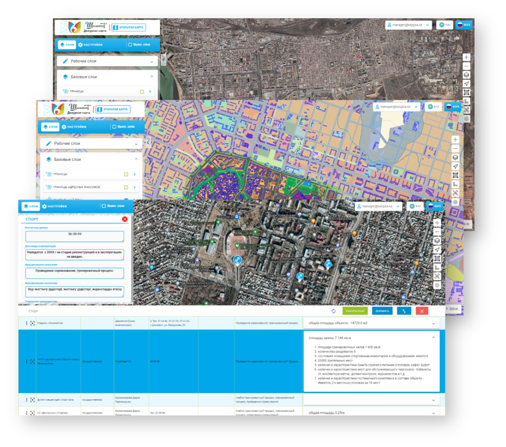
Duty map
(for administrative use )
contains attribute and spatial data available only for official use with limited access rights.
Standard map layers is a constantly expanding
list of map data:
- Master plans
- Department of land relations (free memory)
- Address plan (display of current addressing and vector data)
- Utilities
- Utilities
- Architectural structures
- Hydrography Boundaries of settlements, districts, regions
- Boundaries of address arrays
- Detailed planning projects
- Functional zones
- Road network and others