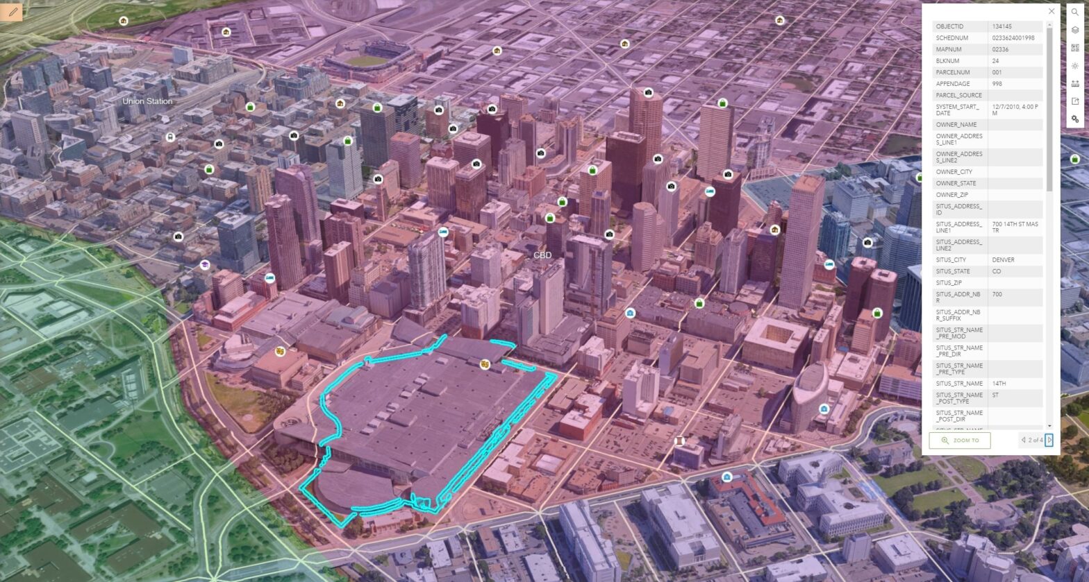
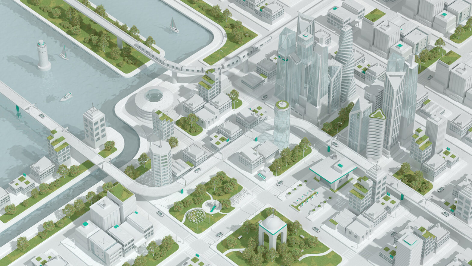
If there is a land plot, what can be placed on it, what to build, what requirements does the administration impose? These and many other points are determined by the PDP – a detailed layout plan. The document reflects the scheme of the district in the city system, urban planning zoning, places for housing, educational… Continue reading Digital PDP
Author: admin
Web design development
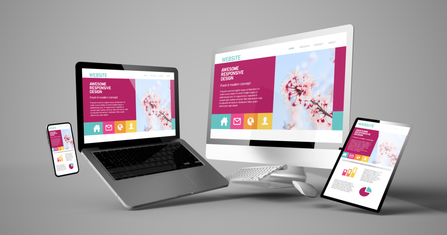
Web design is the process of creating a website. A design field focused on the design, development and design of web interfaces for applications and websites. In addition to the artistic component, the design of the site includes the elaboration of the logical structure of web pages, the usability of the resource or application (usability).… Continue reading Web design development
Creating videos
We create animated videos for applications and games, products and companies, commercials for YouTube and social networks. We voice texts with professional speakers, localize videos. We do everything: from the idea and script to the sound design.
Development of geoinformation systems
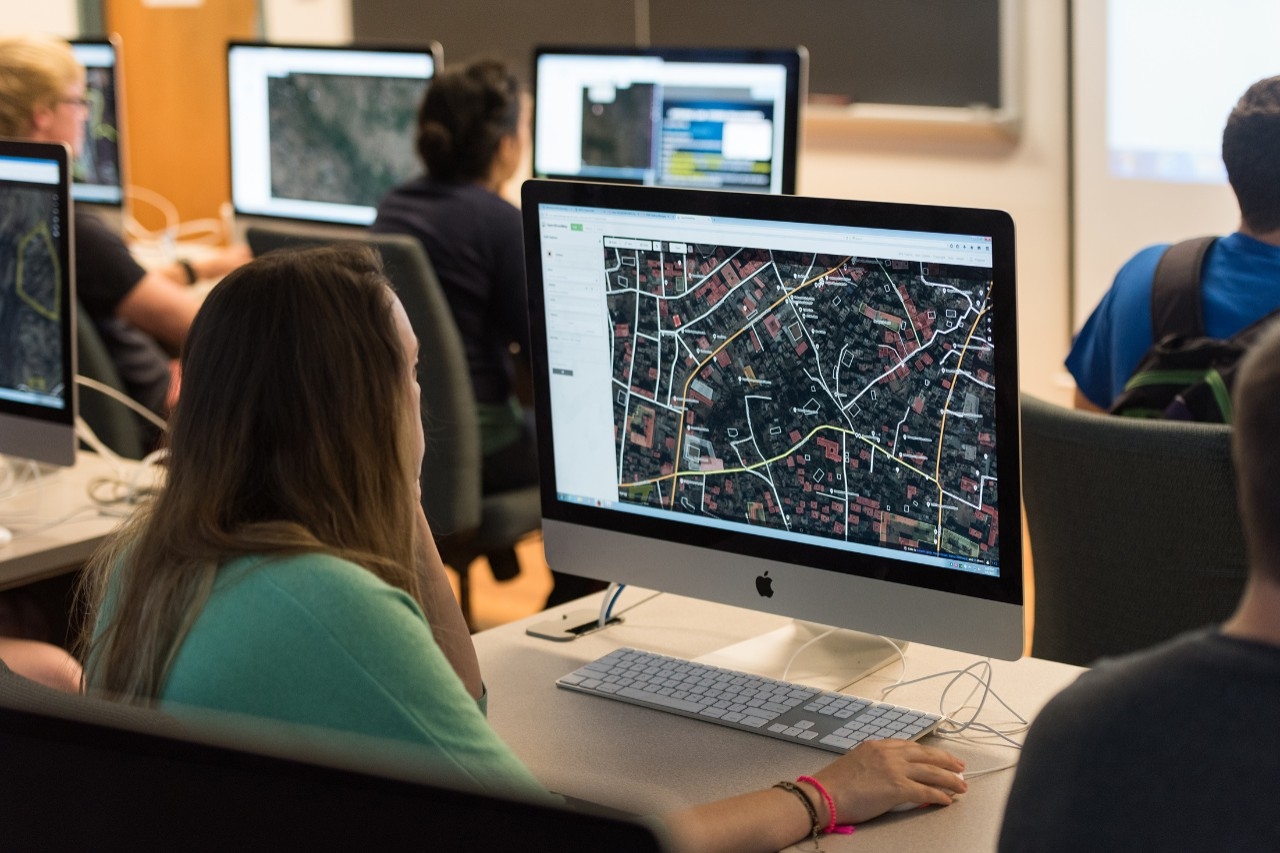
Geographic information system – a system for collecting, storing, analyzing and graphical visualization of spatial (geographical) data and related information about the necessary objects. The concept of a geographic information system is also used in a narrower sense – as a tool (software product) that allows users to search, analyze and edit both a digital… Continue reading Development of geoinformation systems
Business process automation
KAZGISA offers services for the automation of production and management business processes of various levels of complexity: Analysis of existing information systems and software solutions; Development, installation and commissioning of software systems for automating business processes of enterprises, organizations and departments; Development, implementation and maintenance of technical solutions for the organization of information security systems… Continue reading Business process automation
Technical support
KAZGISA is pleased to offer technical support services, as well as modernization of information systems. Technical support – corrective and preventive software changes caused by the need to eliminate actual and hidden errors. The services provided for this type are included in the Technical Support Program. Modernization of the information system includes work on adaptive… Continue reading Technical support
RGIS
The Department of Construction, Architecture and Urban Planning, in order to implement the State Program “Digital Kazakhstan”, taking into account the “Uniform Requirements for Geoportals of LIE”, developed the Regional Geographic Information System (hereinafter – RGIS). RGIS is intended for the collection, storage and graphical visualization of spatial data, as well as for the integrated… Continue reading RGIS
Digital Twin
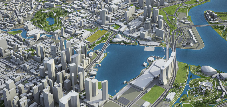
Digital Twin is a virtual platform based on 2D 2D and 3D 3D data that is used to model urban change and improve city governance. The platform displays all the details of the city in a 3D model and is used to predict the future development trends of the city. Digital Twin will be the… Continue reading Digital Twin
Digital Master Plan
Implementation of digital projects, such as a digital city master plan, provides an opportunity to predict and model urban development processes, data on the need to provide certain areas with hospitals, schools, kindergartens, to see the state of existing and planned road networks. Creating a spatial three-dimensional layout of the general plan will allow you… Continue reading Digital Master Plan
Digital PDP
If there is a land plot, what can be placed on it, what can be built, what are the requirements of the administration? These and many other points are determined by the RAP – the detailed planning plan. The document reflects the scheme of the district in the city system, urban zoning, indicates places for… Continue reading Digital PDP
