
Geographic information system – a system for collecting, storing, analyzing and graphical visualization of spatial (geographical) data and related information about the necessary objects. The concept of a geographic information system is also used in a narrower sense – as a tool (software product) that allows users to search, analyze and edit both a digital… Continue reading Development of geoinformation systems
Category: GIS
Map services (geoportals)
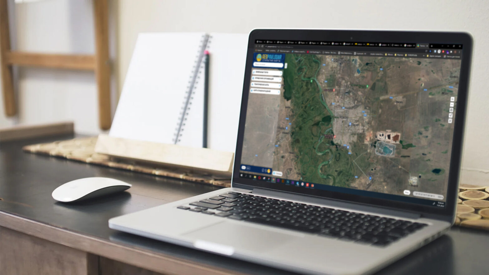
GEOPPORTAL is a platform for geodata, information and geoservices GEOPORTAL PROVIDES FOLLOWING SERVICES: Displaying raster, vector layers; Search and cartographic visualization of data; Collecting and storing large amounts of data; Converting data from external systems into the Geoportal database GEOPORTAL FUNCTIONALITY Open part for the public Closed part for official use Open map for the… Continue reading Map services (geoportals)