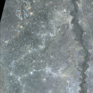
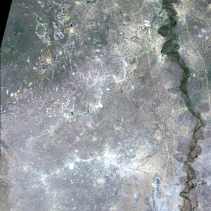
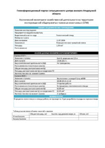
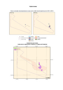
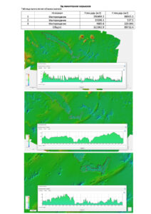
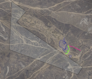
This type of monitoring is aimed at finding out the actual area of subsurface use and calculating the volume of excavation for a certain period. Monitoring is carried out based on remote sensing materials with a spatial resolution no worse than 1 m and obtained by stereo photography.
