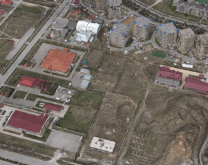
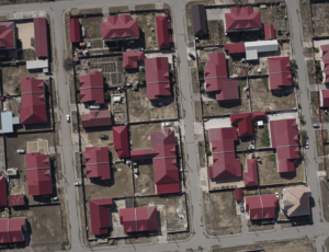
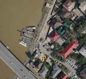
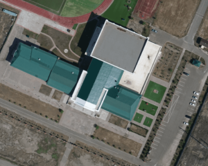
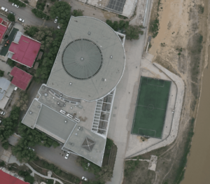
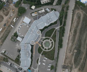
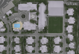
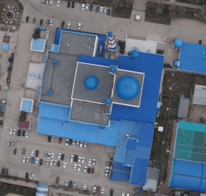
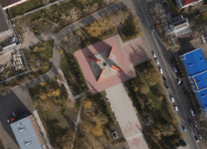
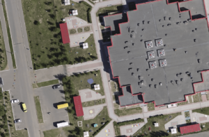
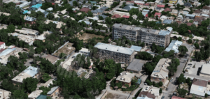
We offer services in aerial photography and processing of materials to obtain an orthophotoplane, a height matrix and a 3D model of the terrain. The shooting is carried out on the basis of unmanned aerial technology with a professional full-frame camera. Photogrammetric processing is performed in special software.
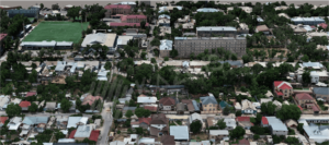
Aerial photography from a UAV ― the best option for the rapid acquisition of spatial data. Various equipment for carrying out survey work can be installed on unmanned vehicles.
Aerial photography is carried out using Supercam UAV, equipped with full-frame cameras Sony and dual-frequency GNSS receivers Javad.
The flight uses satellite signals from three systems: Russian “GLONASS”, European “GALILEO” and American “GPS”. The signals are recorded simultaneously on two receivers: a base receiver mounted on the ground motionless at a point with known coordinates, and an on-board receiver mounted on a UAV. After the flight, data from the base and on-board receivers are rewritten into the program, the joint processing of which makes it possible to obtain geodetic accuracy in determining coordinates. Photogrammetric processing is performed in special software.
Aerial photography from a UAV has the following advantages:

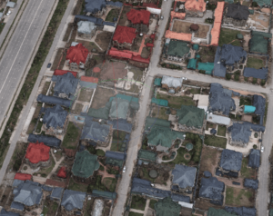
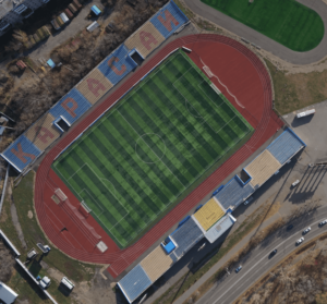
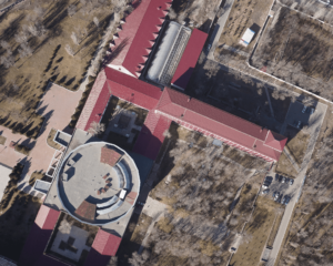
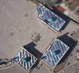
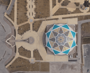
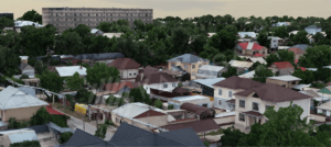
High resolution on the ground
(the cameras used with a resolution of up to 42 megapixels allow you to take pictures with a spatial resolution of up to 1 cm/pixels.);

High accuracy
((Due to the use of high-precision two-frequency, two- or three-system receivers of geodesic class on UAVS, a COE of less than 10 cm is provided.)

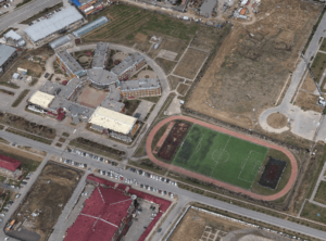
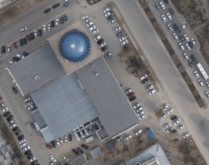
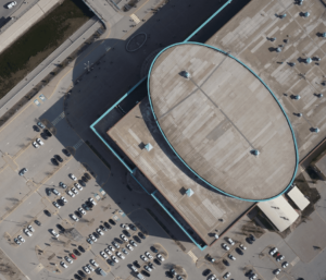
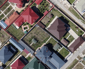
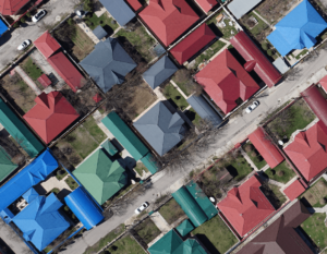
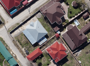
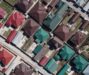
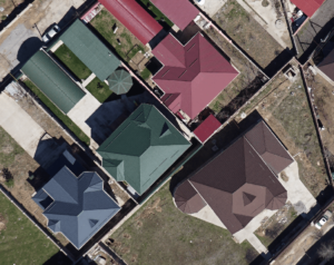
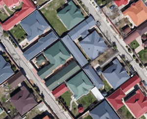
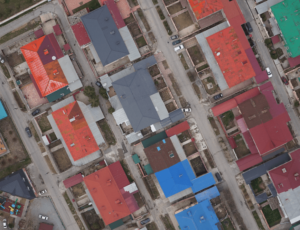
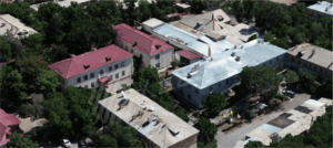
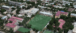
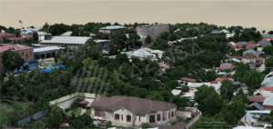
Detailed shooting of small objects is possible;
the technology of aerial photography from UAVs allows aerial photography of small objects and small sites where it is unprofitable to do it with other types of aerial photography, and in some cases it is technically impossible;

The ability to work in different weather conditions and time of day
(BVS Supercam are actively used to perform high-precision aerial photography in the temperature range from -40 to +40 C0))

Efficiency
(the whole cycle from going to the shooting to getting the final results takes several hours in one day);

Low cost
(it is much cheaper to obtain satellite survey data, as well as traditional methods of conducting geodetic surveys);

Экологическая безопасность
(an electric motor is used for operation, which ensures practical noiselessness and environmental cleanliness of flights).
We offer services in aerial photography and processing of materials with obtaining:
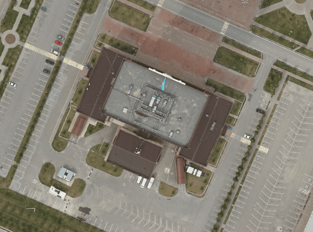
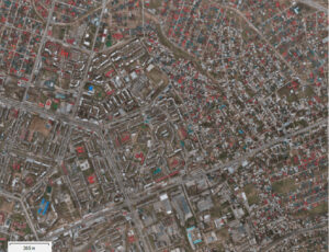
scales of 1:500 and smaller, corresponding to the accuracy of the state cadastre of real estate objects, engineering and geodetic surveys for construction and surveying support of mining operations. The spatial resolution of the image can be 2 cm per pixel.
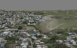
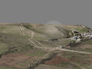
Textured geo-linked terrain model.
digital terrain model (model points are located only on the surface of the earth)
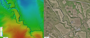
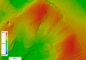
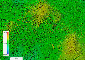
digital terrain model (model points are located on the surface of terrain and land objects)