
The KAZGISA company offers services on inventory of engineering networks: Engineering support of the city is one of the most important components of its infrastructure. Engineering support systems consist of head structures (pumping stations on water supply, sewerage and heat supply networks; central and control and distribution points on heat supply networks; gas distribution points… Continue reading Inventory of engineering networks
Category: Geodesy
Topographic survey
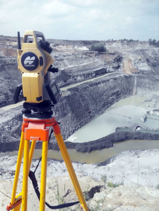
What is a topographic survey and why is it needed? Topography is a complex of geodetic works that allows you to make a topographic map or a plan of a land plot. Such a plan is a drawing of a land plot, displays relief features, natural (vegetation, forests, meadows) and artificial objects (buildings, structures, utilities),… Continue reading Topographic survey
Survey of geodetic points
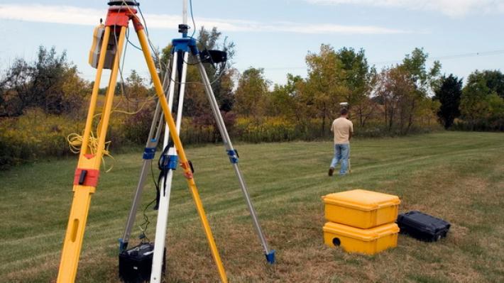
Inspection and restoration of points and signs of the state geodetic and leveling networks of the Republic of Kazakhstan is carried out in order to check their safety on the ground and maintain them in good condition for use in topographic, geodetic and engineering survey work, as well as satellite definitions in the interests of… Continue reading Survey of geodetic points