Satellite transport monitoring is a mobile object monitoring system built using GNSS trackers, cellular and/or radio communication equipment and technologies, computer technology and digital maps. Satellite monitoring of transport is used to solve transport logistics problems in transportation management systems and automated fleet management systems.
The principle of operation is to track and analyze the spatial and temporal coordinates of the vehicle. There are two monitoring options: online — with remote transmission of coordinate information and offline — information is read upon arrival at the control room.
A mobile module consisting of the following parts is installed on the vehicle: a satellite signal receiver, modules for storing and transmitting coordinate data. The software of the mobile module receives coordinate data from the signal receiver, writes it to the storage module and, if possible, transmits it via the transmission module.
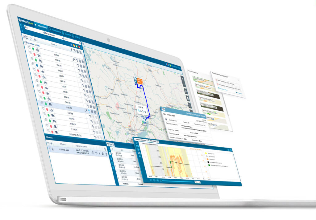
The transmission module allows you to transmit data using wireless networks of mobile operators. The received data is analyzed and given to the dispatcher in text form or using cartographic information.
In the offline version, there is no need for remote data transmission. This allows you to use cheaper mobile modules and refuse the services of mobile operators.
The mobile module can be built on the basis of satellite signal receivers operating in NAVSTAR GPS or GLONASS standards.
Satellite transport monitoring systems solve the following tasks:
- monitoring includes determining the coordinates of the vehicle location, its direction, speed of movement and other parameters: fuel consumption, temperature in the refrigerator, etc. Satellite monitoring systems of transport help the driver to navigate when moving in unfamiliar areas;
- monitoring of compliance with the traffic schedule — accounting for the movement of vehicles, automatic accounting for the delivery of goods to specified points, etc.;
- collecting statistics and optimizing routes — analyzing the routes traveled, speed limits, fuel consumption, etc. of vehicles in order to determine the best routes;
- security — the ability to determine the location helps to detect a stolen car. In the event of an accident, the satellite monitoring system helps to transmit a distress signal to the rescue services. Also, some car alarm systems operate on the basis of satellite monitoring of transport.
- fuel monitoring on a vehicle is a comprehensive accounting, including monitoring the fuel level in the tank, taking readings on real fuel consumption, monitoring the volume of refueling, monitoring fuel discharge. It is possible to carry out both full control of fuel and individual operations through the use of flow meters, capacitive fuel level sensors and a CAN bus, which directly carries out satellite communication with the operator
- identification of the operator, operator or driver.