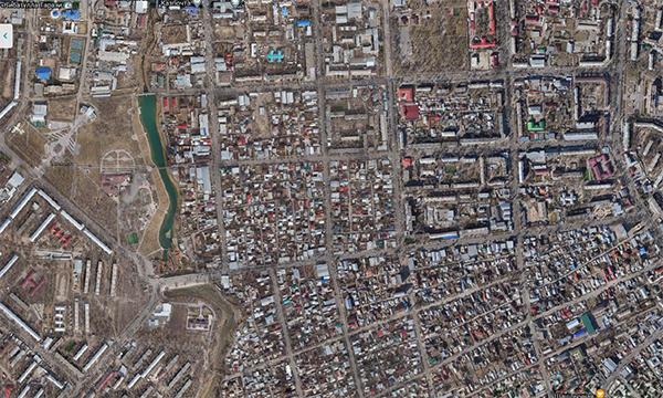
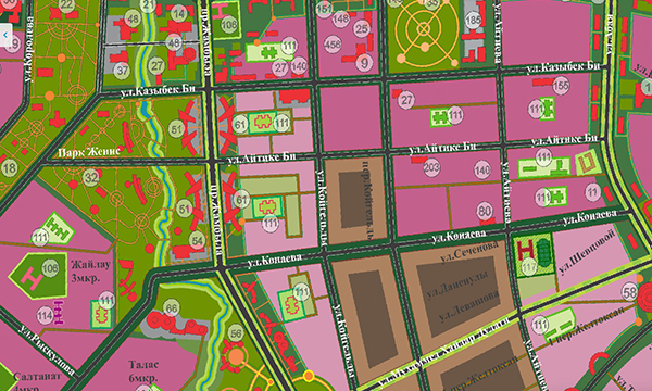
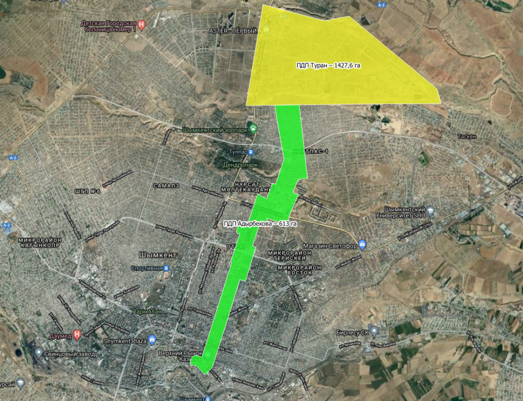
The KAZGISA company offers an extensive range of services to provide the customer with digital cartographic materials.
Cartographic works include a large range of services, activities for processing, formation, research, use of cartographic data.
The creation (updating) of maps (plans) is carried out after the completion of preparatory work, if necessary, the performance of field topogeodesic work, the study of available cartographic products to a given territory, the receipt of remote sensing materials to the mapping territory obtained using spacecraft, AFS and UAVs.
Based on the collected information, a thorough study of the mapping area is carried out, the development of technology for creating (updating) cartographic products, the elaboration and approval of editorial and technical instructions.
The materials of cartographic works are widely used in construction, land management, and other areas. The organization of cartographic work allows you to obtain maps, atlases, which are used as basic, additional and reference materials, etc.


Stages of work:
Preparatory work.
Collection and study of cartographic materials from the point of view of their relevance, accuracy and possibility of use:
- topographic maps and plans of similar scales, in the republican and local authorized bodies exercising control over geodetic and cartographic activities;
- data of geodetic and other field surveys of the area;
- data of the state urban planning cadastre;
- plans for the location of ground and underground engineering and other networks of organizations operating them.
Conducting field work: - carrying out field decryption of the terrain by orthophotoplan;
- reconnaissance of main lines of engineering networks;
- instrumental survey of the main lines of underground utilities.
Desk work: - processing of field survey materials;
- creation of a 1:2,000 scale topographic map based on field work materials and an orthophotoplan.
Transfer of materials to the Customer.
