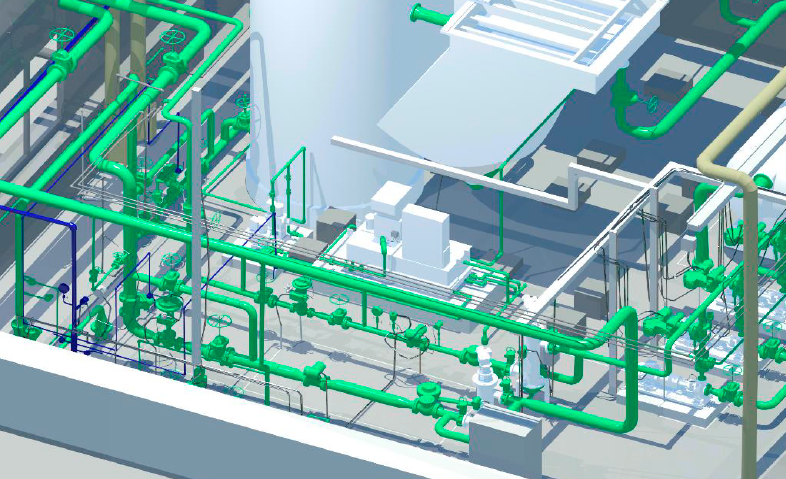
Digital 3D general plan of the enterprise The digital 3D general plan of the enterprise is a three–dimensional model of a real enterprise created on the basis of laser scanning and including all its objects and communications with reference to the terrain. WHY DO I NEED a digital 3D General Plan of the enterprise? The… Continue reading 3D general plan of the enterprise
Author: admin
Topographic survey
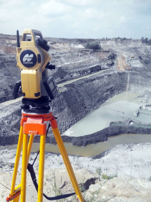
What is a topographic survey and why is it needed? Topography is a complex of geodetic works that allows you to make a topographic map or a plan of a land plot. Such a plan is a drawing of a land plot, displays relief features, natural (vegetation, forests, meadows) and artificial objects (buildings, structures, utilities),… Continue reading Topographic survey
Survey of geodetic points
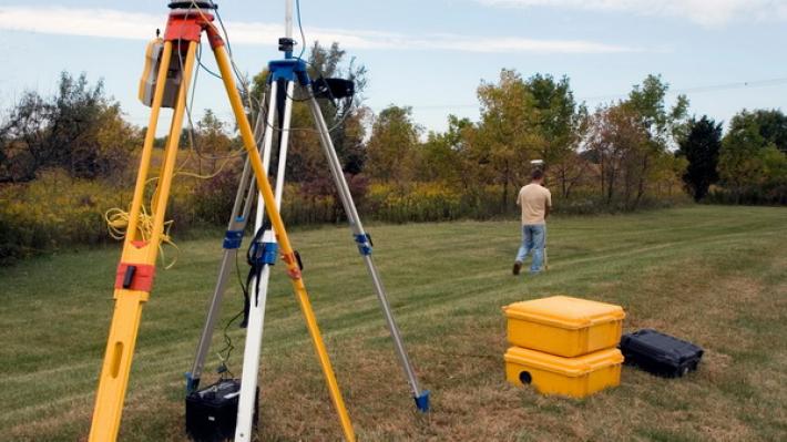
Inspection and restoration of points and signs of the state geodetic and leveling networks of the Republic of Kazakhstan is carried out in order to check their safety on the ground and maintain them in good condition for use in topographic, geodetic and engineering survey work, as well as satellite definitions in the interests of… Continue reading Survey of geodetic points
Development of monitoring systems
Satellite transport monitoring is a mobile object monitoring system built using GNSS trackers, cellular and/or radio communication equipment and technologies, computer technology and digital maps. Satellite monitoring of transport is used to solve transport logistics problems in transportation management systems and automated fleet management systems. The principle of operation is to track and analyze the… Continue reading Development of monitoring systems
Information security
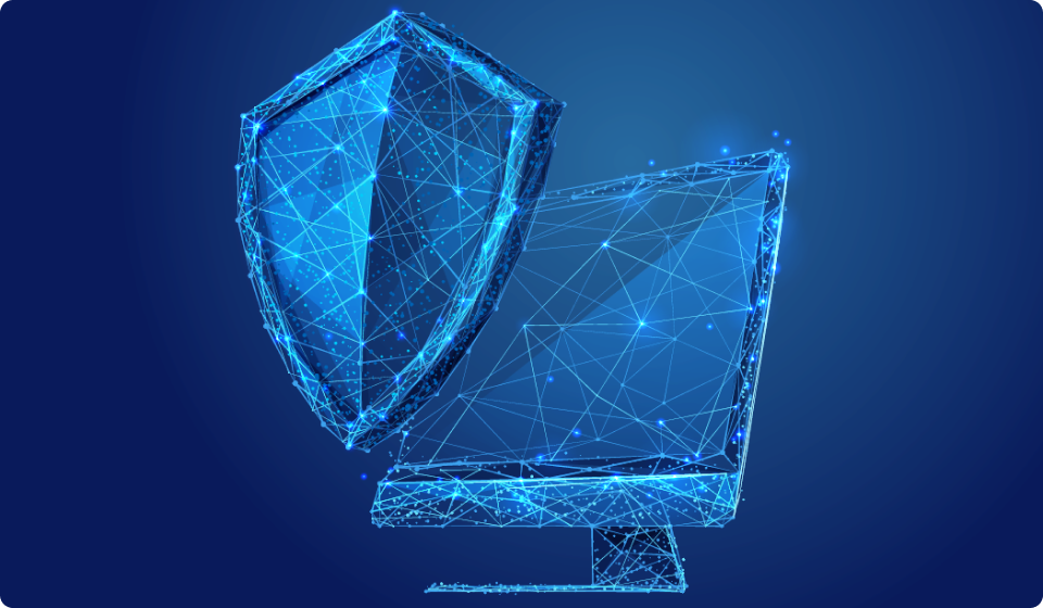
KAZGISA Company offers services in the field of information security 1.Provision of consulting services, recommendations for improving information security at your company; 2.Assistance in bringing your hardware and software complex into compliance with information security requirements (On the approval of uniform requirements in the field of information and communication technologies and information securityResolution of the… Continue reading Information security
Monitoring of common minerals
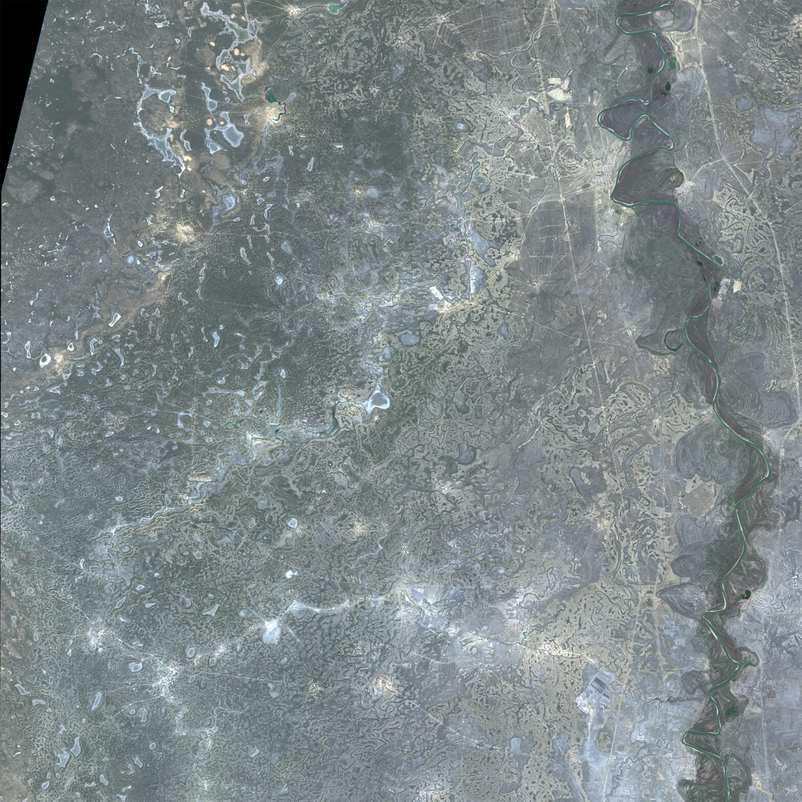
This type of monitoring is aimed at finding out the actual area of subsurface use and calculating the volume of excavation for a certain period. Monitoring is carried out based on remote sensing materials with a spatial resolution no worse than 1 m and obtained by stereo photography.
Laser scanning
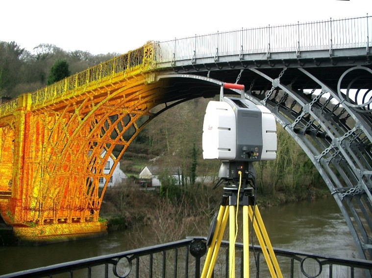
Laser scanning a method that allows you to create an accurate digital model of the surrounding space (an object in space) by presenting it with a set of points with spatial coordinates. The main difference between the laser scanning method and traditional total stations is the co-ordinally high speed and density of measurements in the… Continue reading Laser scanning
3D aerial photography
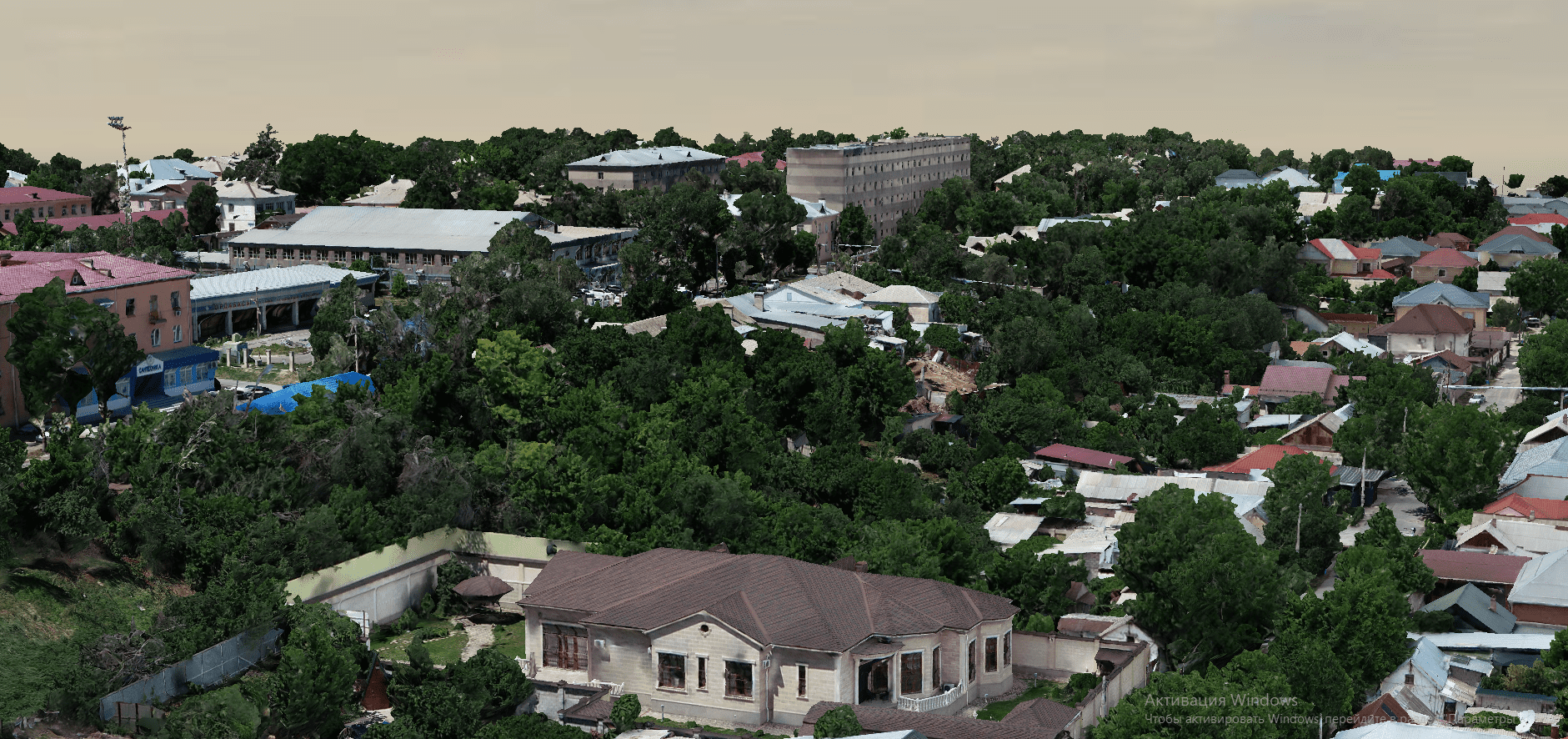
Realistic 3D models of terrain or objects with accurate geodetic references can serve as the basis for developing a digital twin of a city. By linking reference points to the terrain in the required coordinate system, the resulting models have a colossal amount of accurate geodetic data. The model is built by identifying terrain objects… Continue reading 3D aerial photography